
Library
Browse our resources or search by keywords.
Search by category

Our Upland Commons Case Studies
Between 2021 and 2024 Our Upland Commons worked on a range of practical projects on common land. These have ‘demonstrated by doing’. We tested new approaches to enhancing public goods across commons - adopting new technologies and new ways of working to engage commoners and owners of common land in delivering wider benefits. These are written up as a series of case studies that can be downloaded here

Grassington Moor, Wharfdale Historic Environment Survey
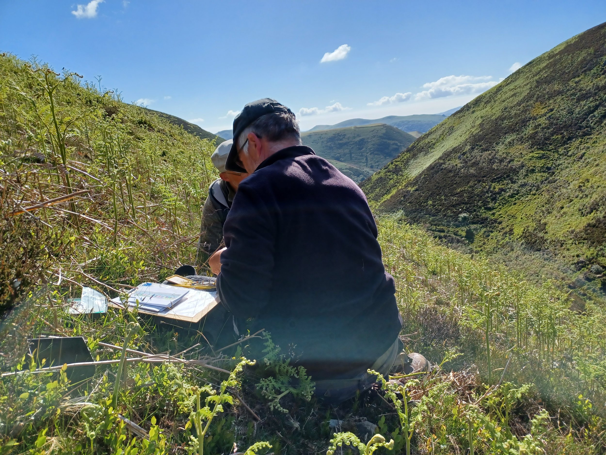
This report documents the results of a historic environment survey as part of a project for proposed peat restoration works under a Natural England PA2 Feasibility study grant. This work focuses on two blocks of moorland on Grassington Moor, Wharfedale, and provides the information required of an Historic Environment Assessment to allow the management of the historic environment within the wider restoration project.

Healthy Trees Survey Summary Report
A summary of the Healthy Trees for Tomorrow Project which aimed to gain a better understanding of the number, age distribution and health of trees on commons. We are sharing three survey reports from the commons we surveyed, including: Harford and Ugborough Moor (South Dartmoor), Holne Moor (East Dartmoor), Walkhampton Common (West Dartmoor).

Piles Hill Double Stone Row, Harford & Ugborough Moors
This survey aimed to increase our understanding of Piles Hill Stone Row and peripheral monuments. Discoveries were made during a week-long dig aimed at learning more about the double stone row, the longest of its kind in the UK. Authors: Mark Edwards and Dr Stephen Trick, Substrata, May 2022.
Molinia (Purple Moor Grass) Control Trial, Harford Moor, January 2022
This report outlines the results of a trial to control Molinia (Purple Moor Grass) and increase the abundance of blanket bog species. The trial flattened 5 ha of Molinia dominated blanket bog with low ground pressure diggers.

Harford & Ugborough Commons Management Plan (2024)
This management plan looks ahead to managing Hartford and Ugborough Commons over the next 20 or 30 years. The work programme identifies and proposes work to improve the condition of the commons and the public benefits they provide, including the condition required by the Site of Special Scientific Interest (SSSI) and the two Premier Archaeological Landscapes (PALs). This management plan is written primarily for the owners of the commons and the farmers whose livestock graze the common.

Dung Beetle Diversity and Abundance on Common Land
This study aimed to establish a baseline for dung beetle population in two Common Land areas and associated inbye lands, with a methodology designed for future monitoring. Key objectives included assessing species diversity and abundance compared to a control site and understanding the impact of current livestock management practices on dung beetle populations.

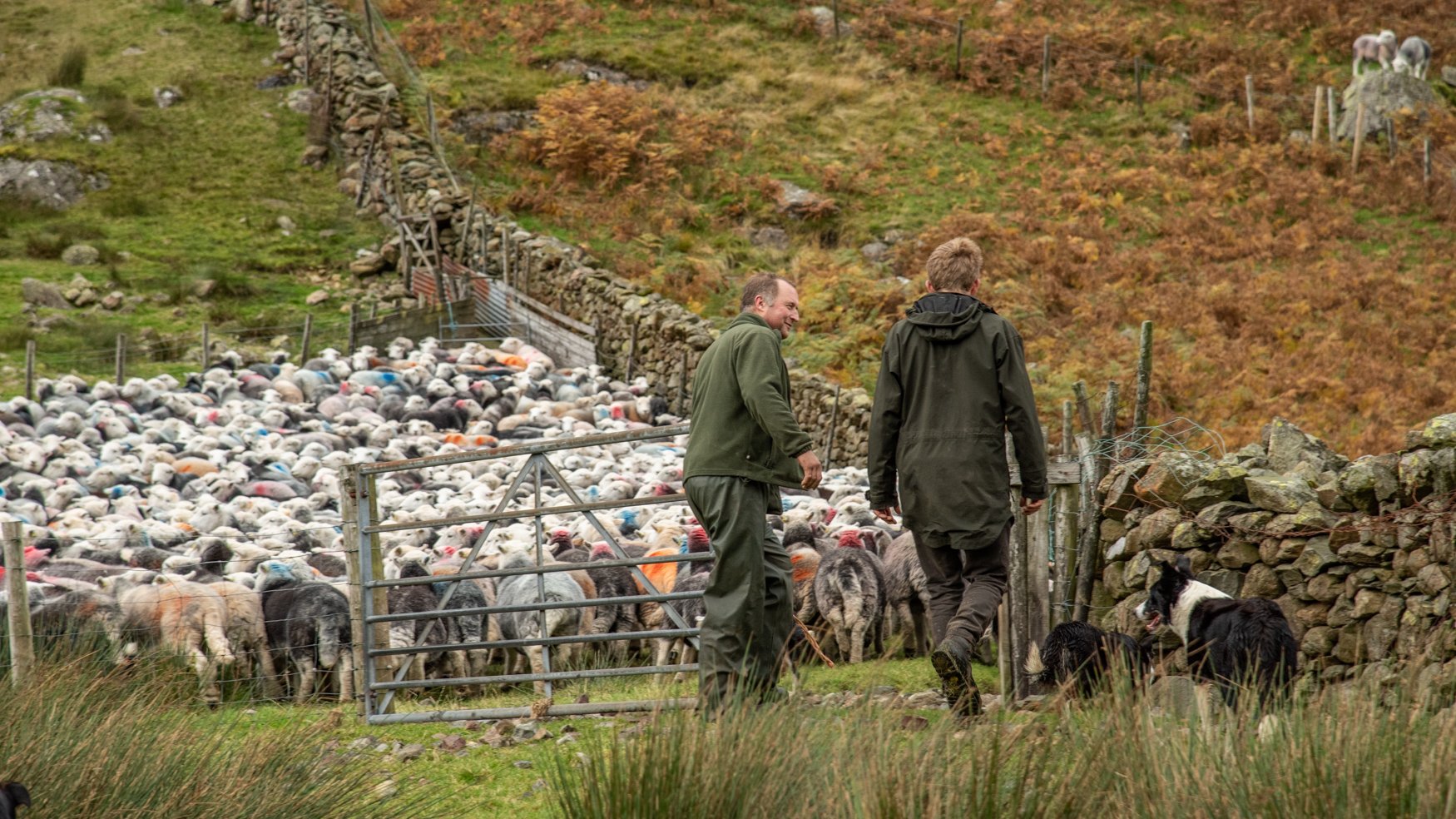
The Cost of Commoning on Dartmoor
Data was collected over three years (2021 - 2023) from 15 farms who graze livestock on Dartmoor Common Land. The aim of the research was to highlight the true cost of grazing livestock on the common and inform future Agri-environment intervention rates. Authors: Mark Fogerty, Duchy College Rural Business School and Tracy May.

Clee Liberty Lime Kiln Report
This report describes the results of an archaeological trench over part of a lime kiln adjacent to Nordy Bank, Clee Liberty, in the northwest of Clee Liberty Common. The fieldwork was carried out from the 5th to the 12th of June 2023.

Farmer Led Habitat Assessment on Ingleborough
The Yorkshire Dales National Park Authority Farm Conservation Team compiled a Farmer-Led Habitat Assessment process for commoners to assess the quality and quantity of various special and specific habitats on Ingleborough. As Ingleborough is an SSSI, it is paramount that the farmers have the right data to support ongoing conversations with conservationists and those interested in the land. This report is the culmination of that work.

Stiperstones Shepherding Trial
This report describes the results of a shepherding trial on Stiperstones during the grazing seasons of 2021 and 2022. After first observing where the sheep and cattle naturally grazed, in the second year, the shepherd actively moved the sheep to areas less grazed. Despite the very hot summer and drought of 2022 making the trial more challenging, this report sets out several other factors affecting the sheep grazing patterns on the Stiperstones.

Brant Fell Natural Flood Management Report
Following the Brant Fell Archaeology survey and the Yellowhammer bird habitat survey, a Natural Flood Management Report was scoped to reduce flood risk to Sedbergh from Brant Fell in the Yorkshire Dales. The report provided recommendations after input from commoners in the area, to ensure the most appropriate methods for the steep fell.

Brant Fell Archaeological Report
YDNP (Yorkshire Dales National Park) Historic Environment team undertook a site walk-over of Brant Fell, Sedbergh to discover any further archaeological remnants of human habitation to enhance existing HER records. The report details 75 new sites that underpin other Brant Fell Projects, such as the NFM (Natural Flood Management) recommendations.
Whinchat Conservation on the Longmynd
This report describes the background, considerations, methods and findings of the three years of research to establish why whinchats are in decline and to determine action to reverse this. This involved locating nests, monitoring broods, colour-ringing chicks, and recording habitat observations to make and trial bracken management recommendations.

Grassington Moor - Peatland Restoration Plan
This report describes the results of a survey carried out by Yorkshire Peat Partnership between February and March 2022.
The survey was carried out in 3 parts: an initial desk-based survey of aerial photographs, which helped make an initial assessment of the type of work that might be needed; the field survey, where information about the grips, gullies, hags and bare peat as well as the vegetation communities and peat depth is recorded onto a hand-held mapper; and a desk-based post survey of the area using a combination of the aerial photography and walkover survey data to classify erosion features.

Historic Landscape Survey of Clee Liberty
This report comprises an assessment of the historic environment and archaeological features of Clee Liberty including a discussion of their value and significance in the historic landscape. The report forms the basis for the Historic Environment activities offered and carried out as part of the Our Upland Commons project during 2021 -2023.
Our Common Cause: Our Upland Commons Project Executive Summary
Our Common Cause: Our Upland Commons was a landmark project that worked to conserve, enhance and broaden understanding of the cultural and natural heritage of commons and commoning in upland England, working in the Lake District, Dartmoor, the Yorkshire Dales and Shropshire Hills. Read the project’s executive summary.
Hill Sheep Husbandry in England
This guide presents a set of principles of hill sheep husbandry but recognises that practice must be flexible, combining art and science, providing for particular sheep in particular places at particular times. The evolution of hill sheep husbandry is described and analysed as a set of key principles. The relationship between soils, vegetation, and grazing is examined, and an overview of the nutritional value of commonly grazed plants is provided. All aspects are illustrated by reference to science and development studies supported with illustrations.